Furano Area
-
Furano
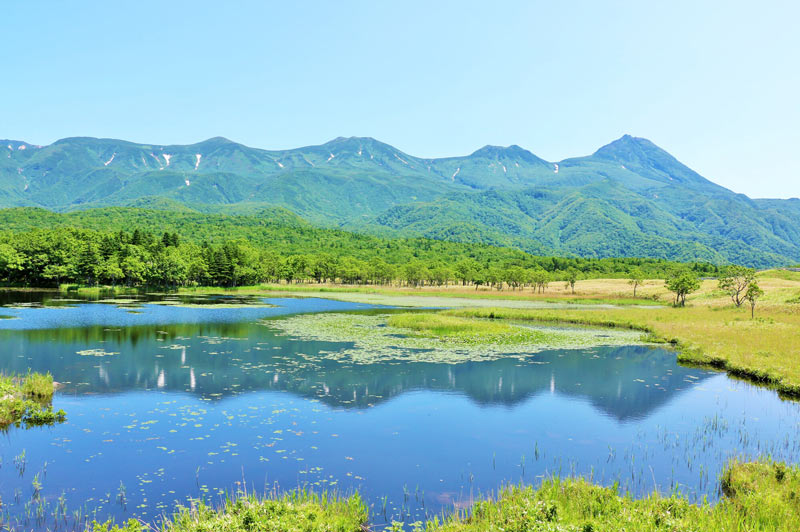
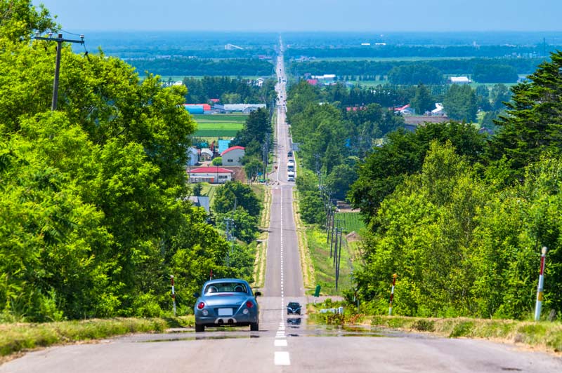
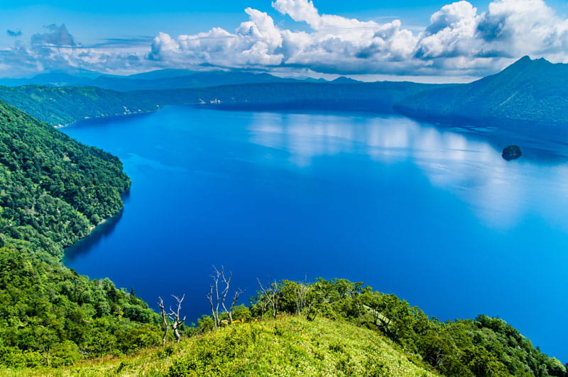
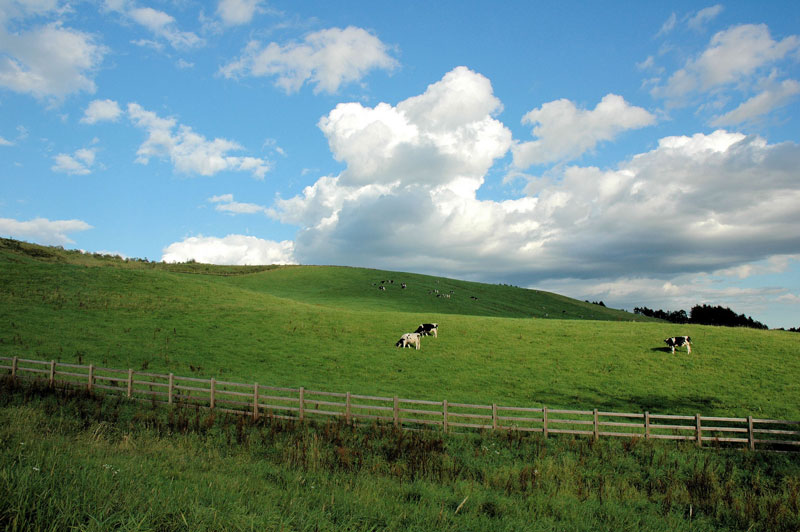
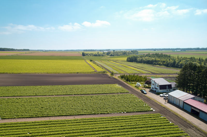
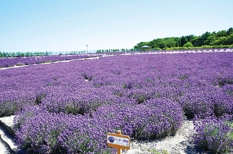
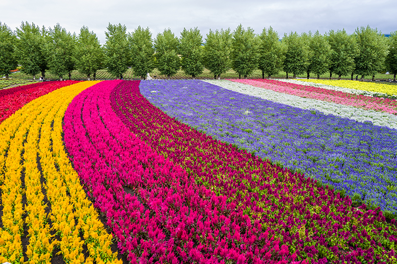
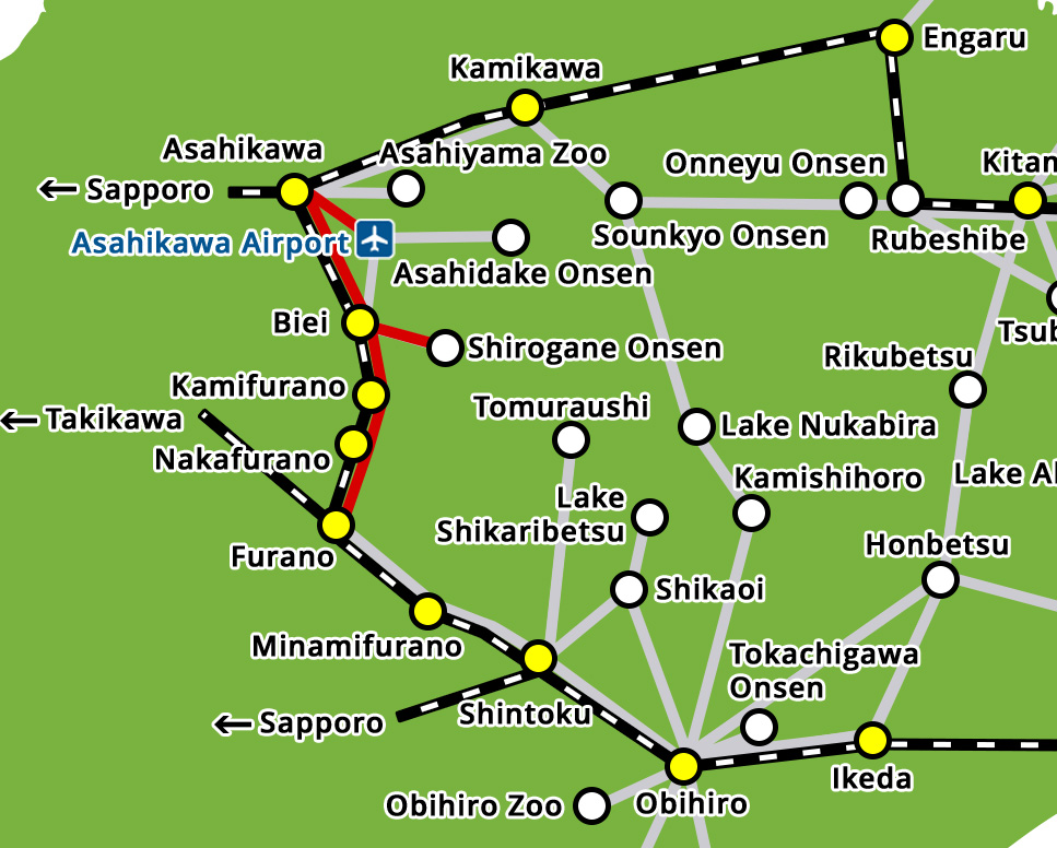
The Furano area is famous for its vast views of the Tokachi Mountains and endless fields of lavender. Popular tourist spots also include the beautifully scenic "Aoi-ike" and "Shirogane-no-taki" waterfalls in Biei.
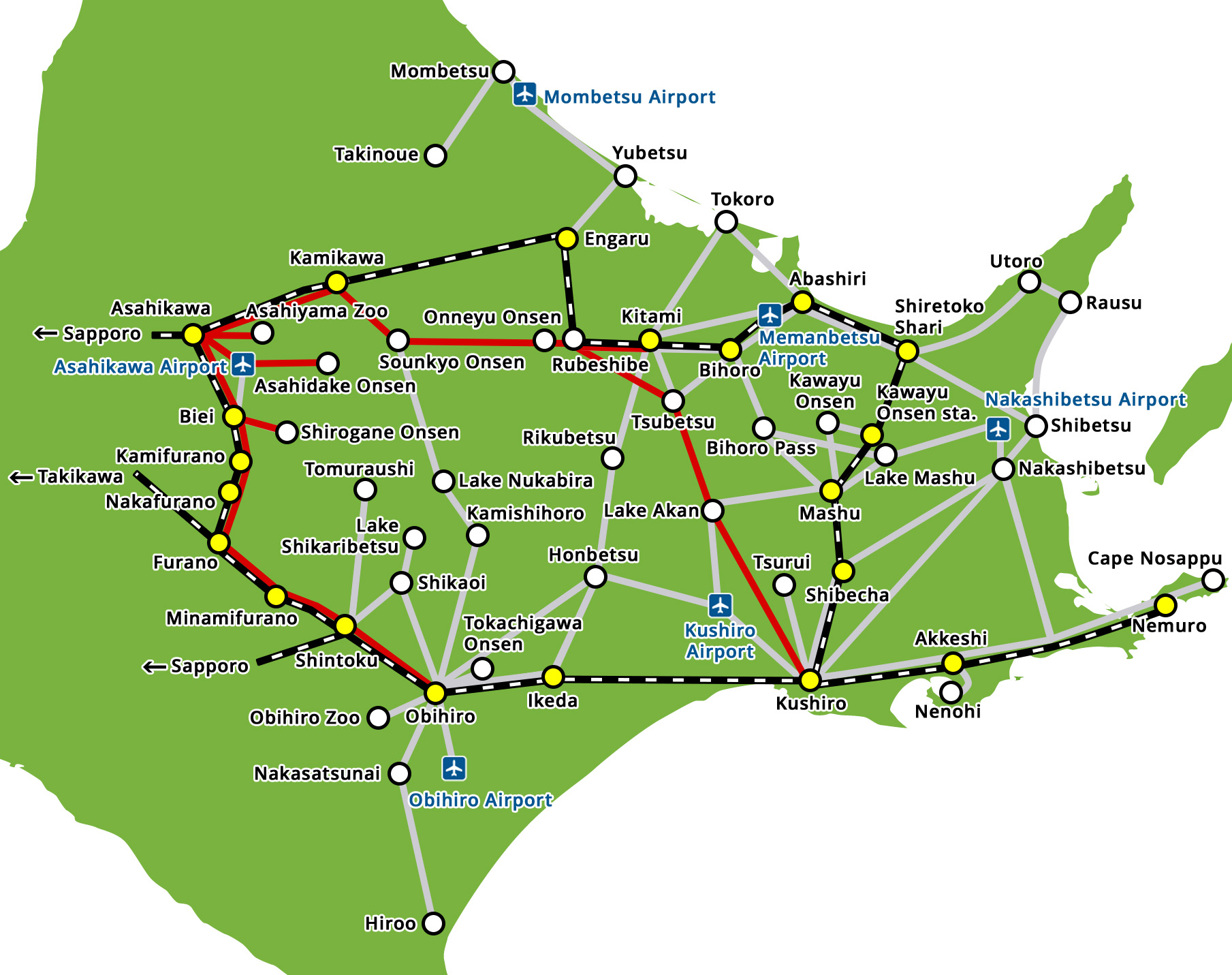
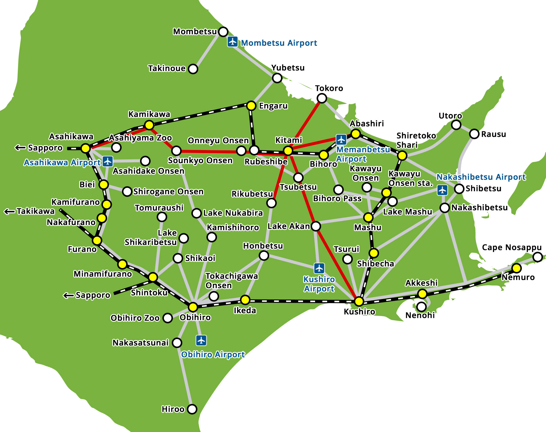
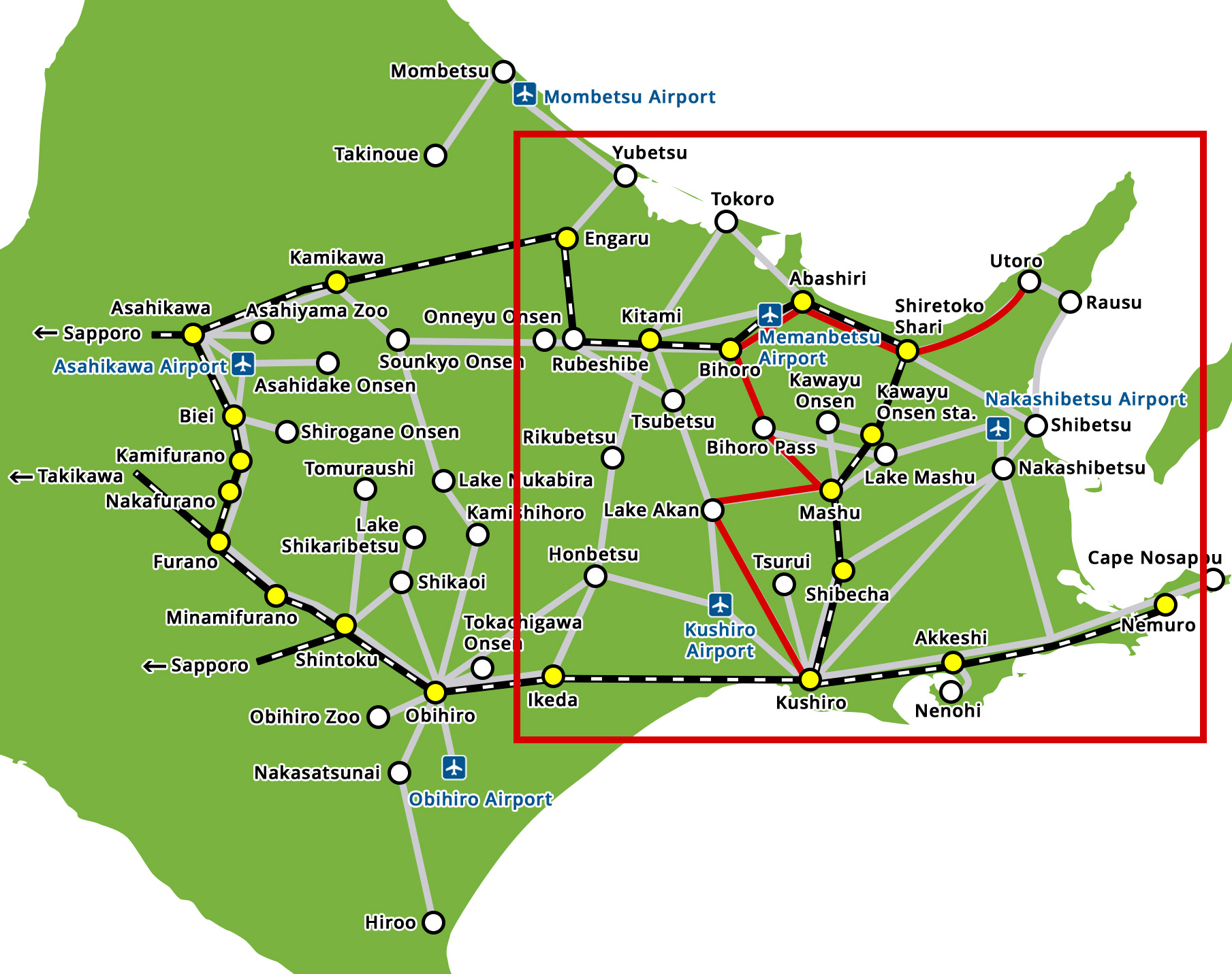
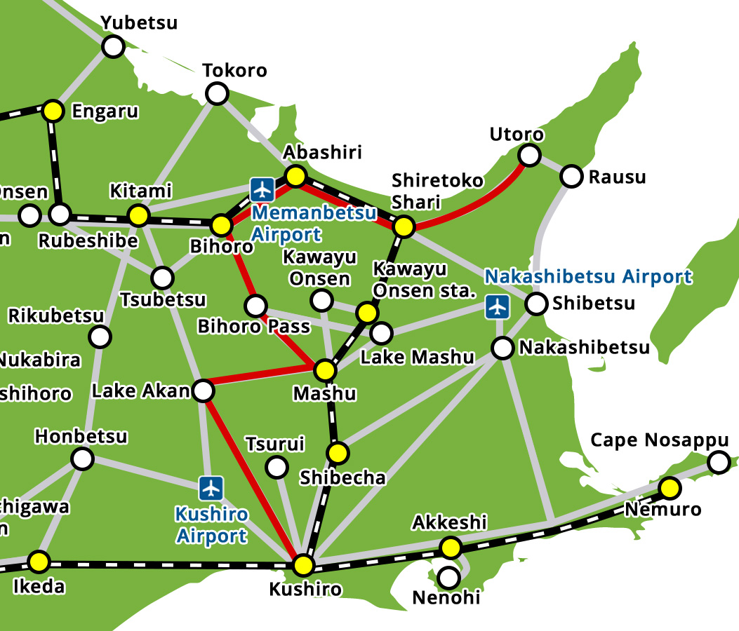
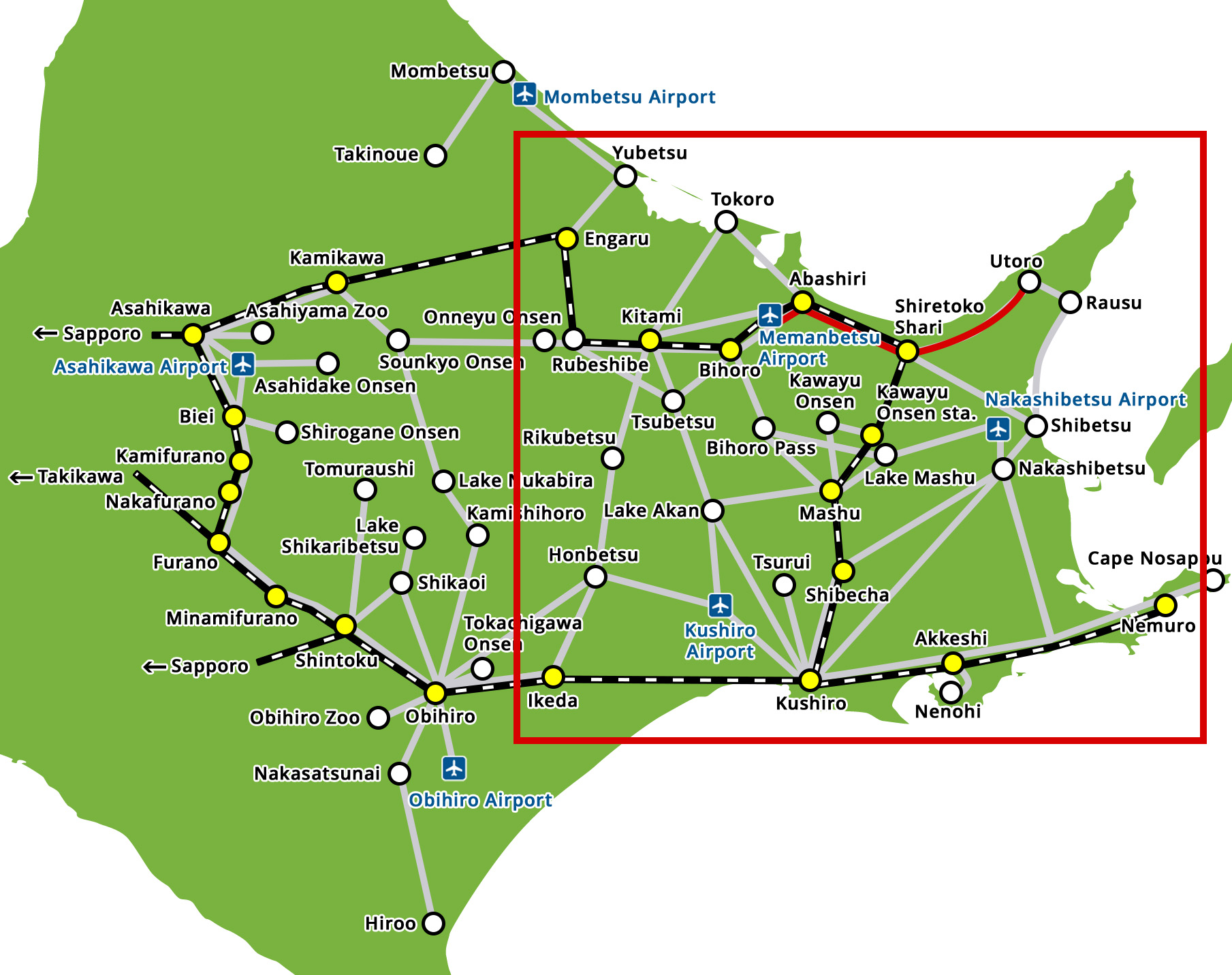
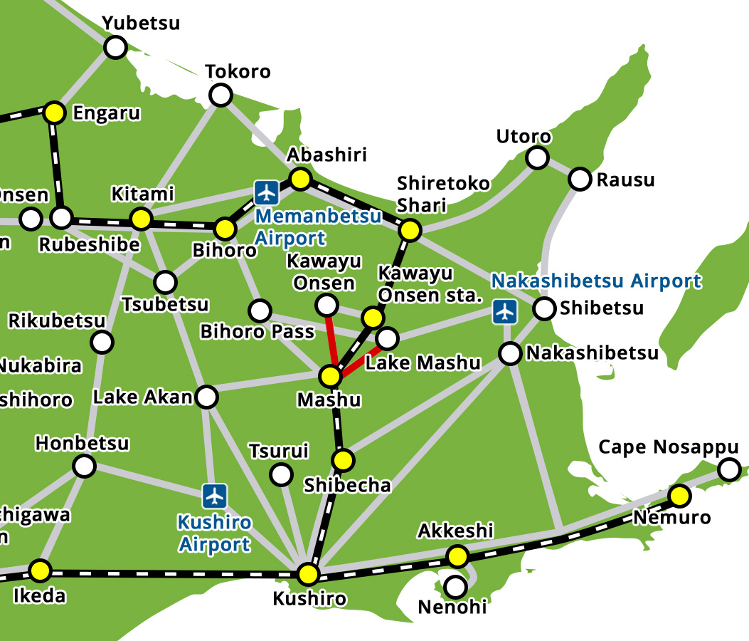
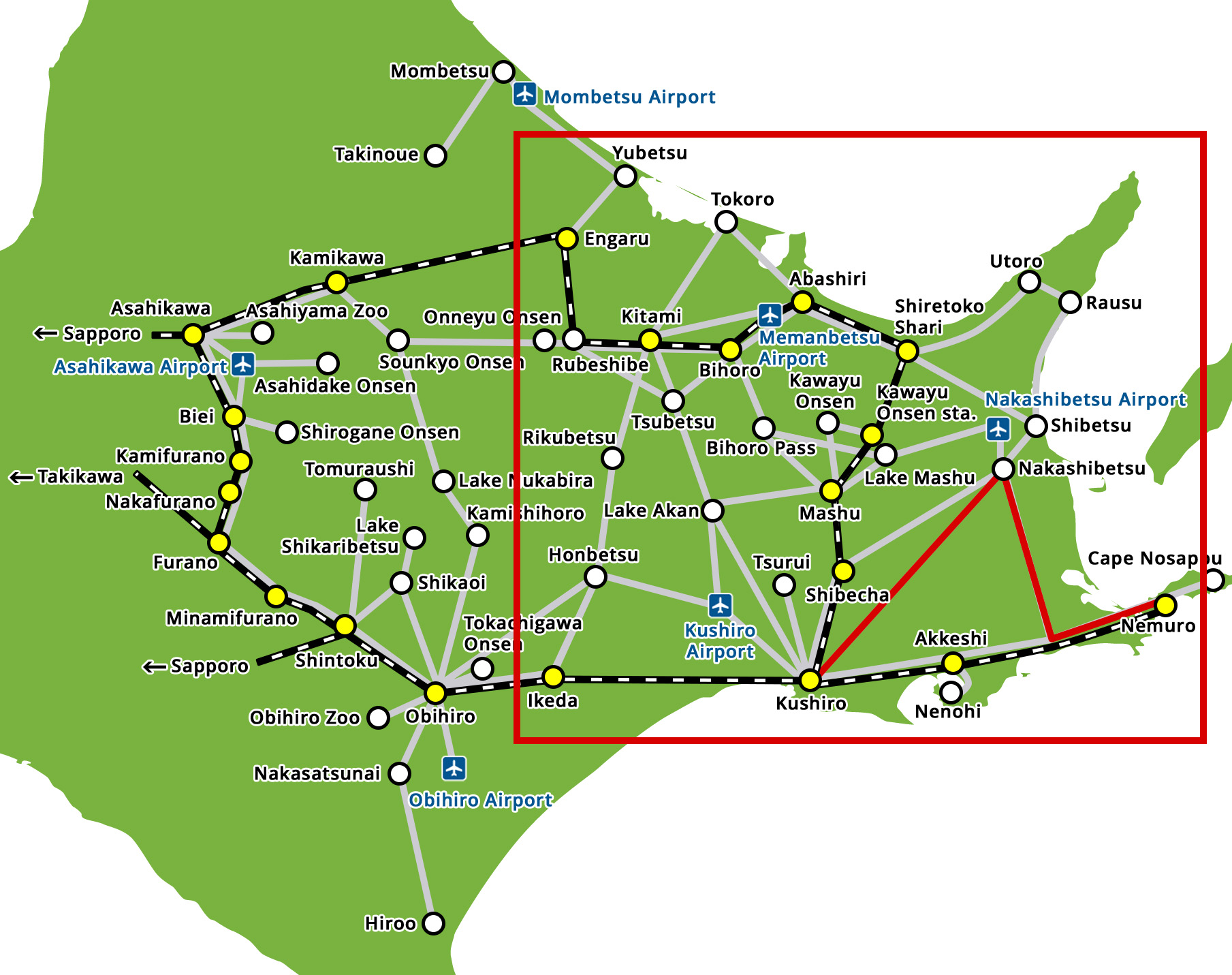
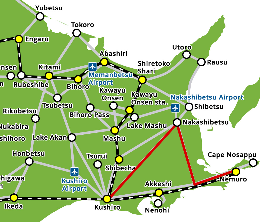
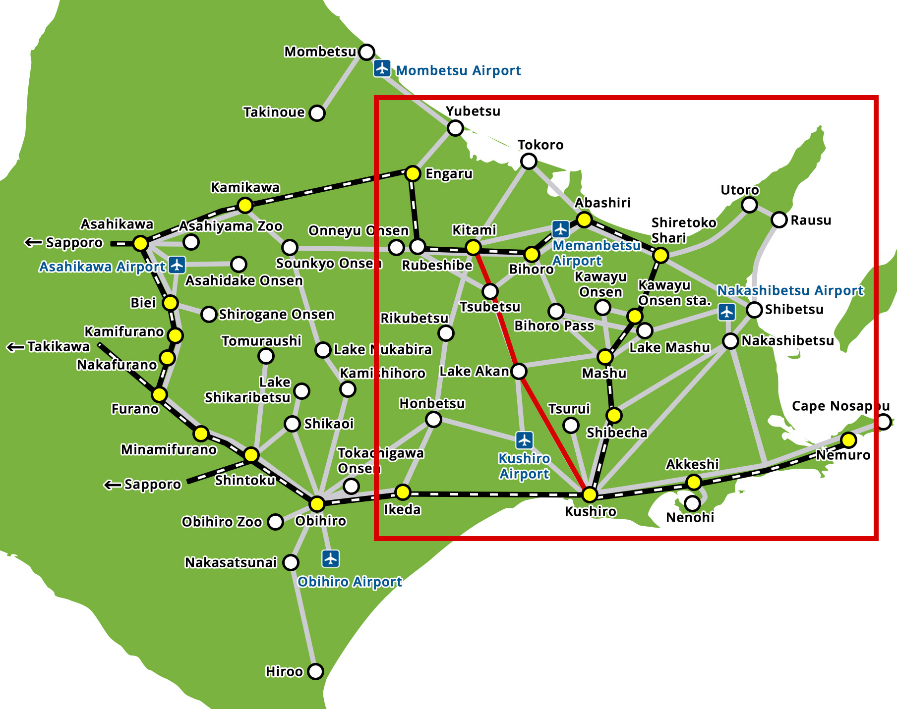
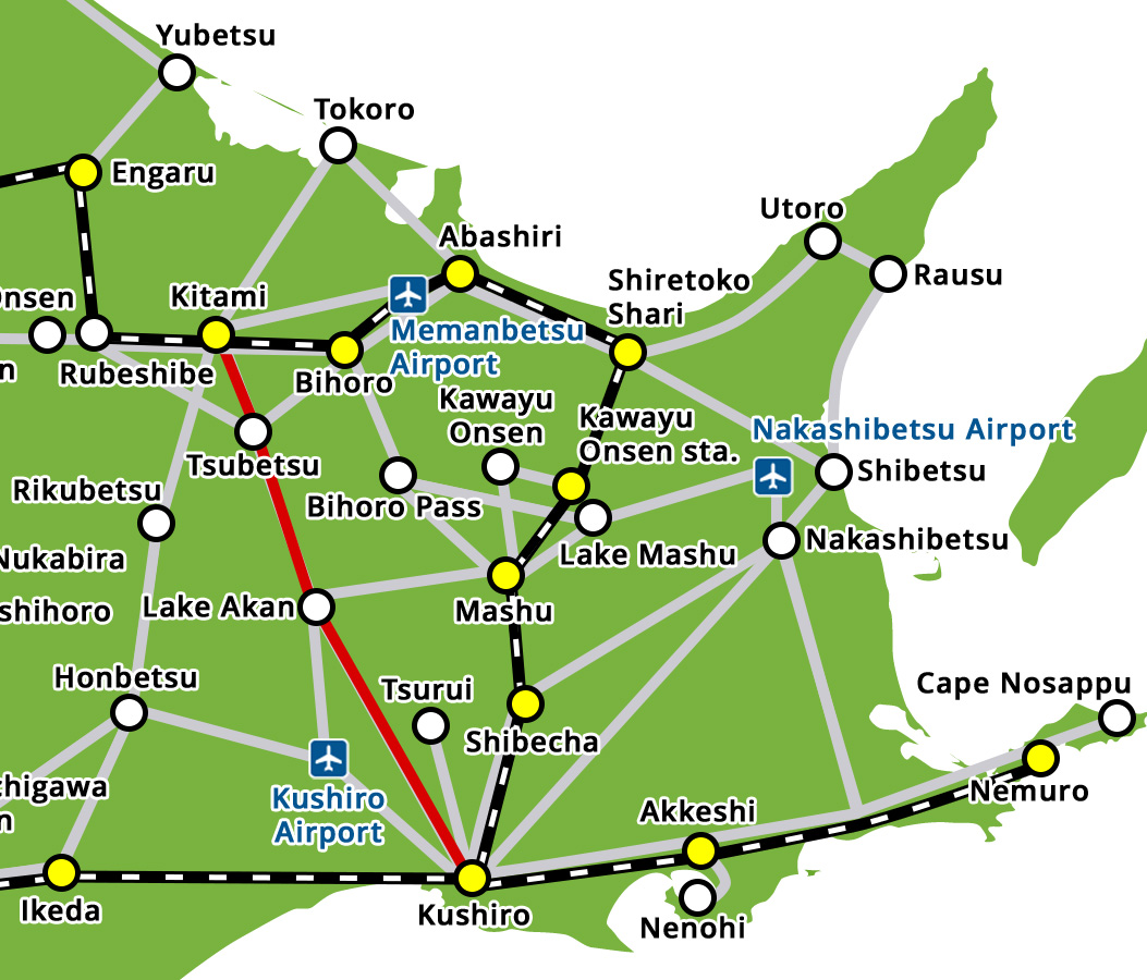
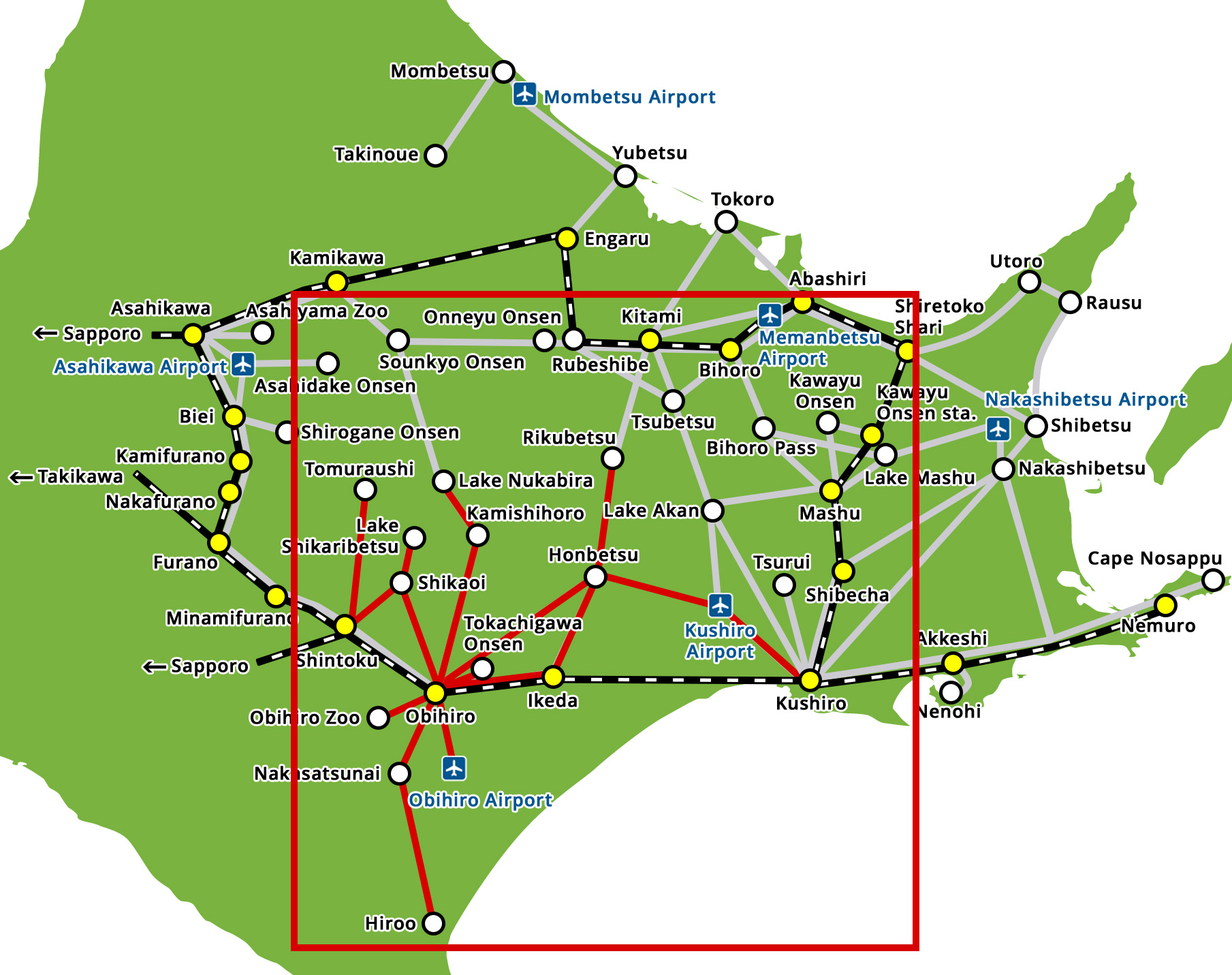
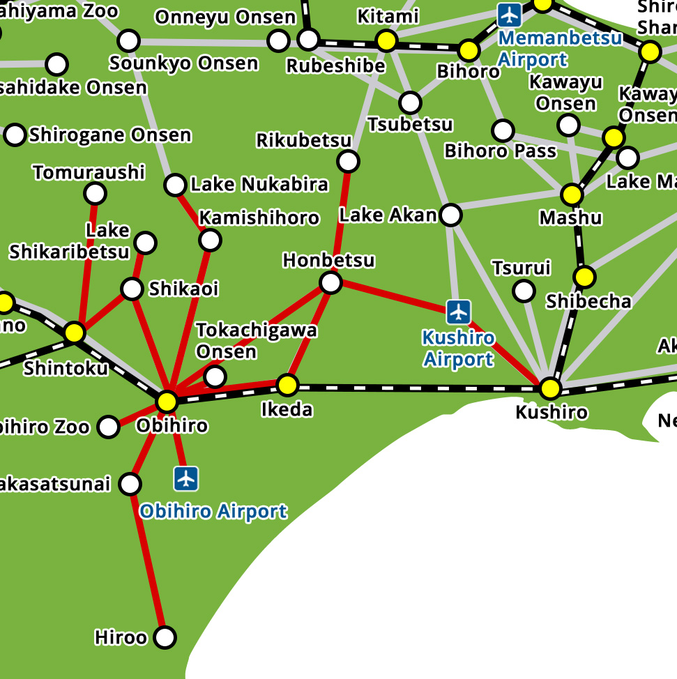
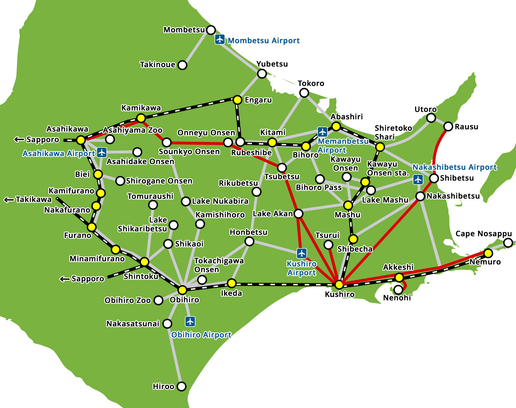
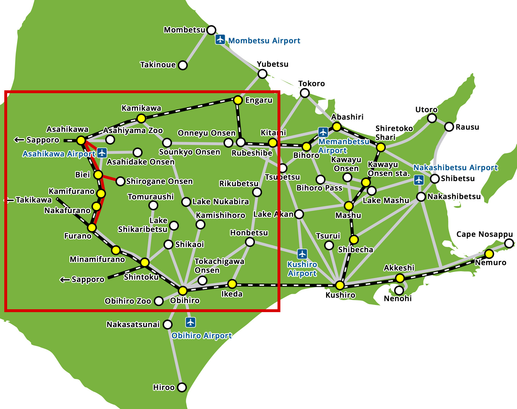
Route Map of Furano Area
*The prices shown on the reservation screen is the lowest price for the shortest route.
-
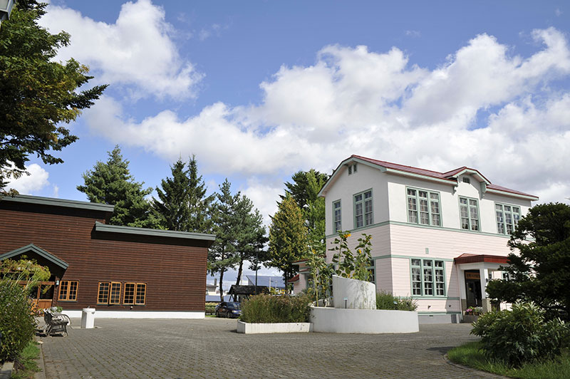
Asahikawa
 Furano
-
Asahikawa eki mae
Biei
-
Asahikawa
Shirogane Onsen